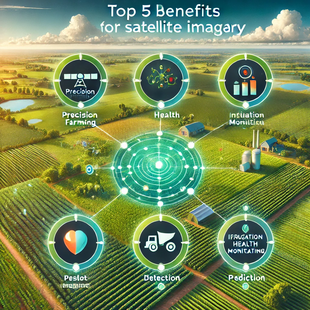
Satellite imagery has become an indispensable tool in modern agriculture, providing a bird’s-eye view of the land and enabling farmers and agribusinesses to make smarter, data-driven decisions. At its core, satellite imagery involves capturing detailed pictures of Earth from space, using advanced sensors to collect information across various wavelengths. This technology offers insights far beyond what the naked eye can perceive, including vegetation health, soil conditions, and water availability.
In agribusiness, where efficiency and precision are key to success, satellite imagery has revolutionized traditional farming methods. Instead of relying solely on manual inspections or localized data, farmers can now access large-scale, high-resolution images that provide real-time information about their fields. This shift has paved the way for precision agriculture—a farming approach that optimizes inputs like water, fertilizers, and pesticides based on specific crop needs.
By utilizing satellite imagery, agribusinesses can monitor crop growth over vast areas, detect early signs of stress, and identify patterns that may not be obvious from ground-level observations. This proactive approach reduces waste, improves yields, and enhances sustainability, ultimately transforming the way we produce food. Whether it’s tracking seasonal changes, mitigating the effects of climate variability, or planning better resource allocation, satellite technology has become a cornerstone of innovation in the agricultural sector.
Enhanced Crop Monitoring and Health Analysis
One of the most transformative applications of satellite imagery in agribusiness is its ability to monitor crops and analyze their health with unparalleled precision. By leveraging advanced tools like the Normalized Difference Vegetation Index (NDVI), farmers can track the vitality of their crops over large areas and identify issues that might otherwise go unnoticed until it’s too late.
The Role of NDVI in Tracking Crop Health
NDVI is a key metric derived from satellite data that measures the difference between near-infrared light, which healthy vegetation strongly reflects, and visible red light, which plants absorb. The resulting NDVI values range from -1 to +1, with higher values indicating healthy, photosynthetically active vegetation. This index provides a clear and quantifiable picture of crop health, enabling farmers to identify variations in plant vigor across their fields.
Using NDVI, farmers can:
- Spot Trouble Areas Early: NDVI maps highlight areas where crops are underperforming due to factors like pests, diseases, or poor soil conditions.
- Optimize Input Usage: By identifying specific areas that need attention, farmers can apply water, fertilizers, or pesticides in a targeted manner, saving resources and reducing costs.
- Track Growth Over Time: Regular monitoring allows farmers to observe trends and make informed decisions to ensure consistent crop health throughout the growing season.
Early Detection of Stress, Diseases, and Nutrient Deficiencies
Satellite imagery is invaluable for detecting subtle signs of stress in crops that might not be visible to the naked eye. For instance:
- Water Stress: Early indications of drought or overwatering can be identified, allowing farmers to adjust irrigation systems before the problem escalates.
- Disease Outbreaks: Satellite data can detect unusual patterns, such as changes in vegetation reflectance caused by fungal or bacterial infections.
- Nutrient Imbalances: Yellowing or stunted growth due to nutrient deficiencies can be spotted, enabling timely corrective actions.
This ability to act proactively rather than reactively is a game-changer for agribusinesses. By identifying and addressing issues at an early stage, farmers can minimize crop losses, improve yields, and ensure more sustainable farming practices.
Satellite imagery, powered by tools like NDVI, provides a dynamic, real-time view of crop health, empowering agribusinesses to cultivate robust harvests and make informed decisions with confidence.
Precision Agriculture and Resource Optimization
In the era of modern farming, precision agriculture has emerged as a cornerstone of efficiency, and satellite imagery plays a pivotal role in its implementation. By offering a detailed and dynamic view of farmland, satellite data helps agribusinesses optimize their use of critical resources like water, fertilizers, and pesticides, leading to more effective and sustainable farming practices.
Efficient Use of Water, Fertilizers, and Pesticides
Satellite imagery provides field-specific insights that guide resource allocation with pinpoint accuracy. For instance:
- Water Management: Satellites detect variations in soil moisture and evapotranspiration, allowing farmers to implement precise irrigation schedules. This ensures crops receive adequate water without over-irrigation, which can lead to runoff and waste.
- Fertilizer Application: By identifying nutrient-deficient areas through vegetation indices like NDVI or soil composition maps, farmers can apply fertilizers selectively, improving plant growth without overusing chemicals.
- Targeted Pest Control: Satellite data highlights zones of pest infestation or disease outbreaks, enabling farmers to apply pesticides only where necessary, reducing chemical usage and associated costs.
Reducing Costs and Environmental Impact
Targeted interventions minimize the overuse of agricultural inputs, which not only cuts costs but also mitigates environmental harm. Excessive fertilizers and pesticides can leach into water bodies, harming aquatic ecosystems, while over-irrigation depletes water reserves. Satellite-driven precision agriculture ensures that resources are used judiciously, promoting eco-friendly farming and long-term sustainability.
By integrating satellite data into farming operations, agribusinesses achieve a balance between productivity and environmental stewardship, paving the way for a more resilient agricultural industry.
Improved Yield Predictions and Planning
Accurate yield predictions and strategic planning are essential for maximizing profitability and meeting market demands in agribusiness. Satellite imagery empowers farmers with data-driven insights to forecast yields with remarkable precision, ensuring better decision-making and resource allocation.
Leveraging Imagery to Forecast Yields More Accurately
Satellite data enables agribusinesses to analyze crop growth trends, biomass levels, and overall field conditions throughout the growing season. This information is critical for:
- Quantifying Growth: By assessing vegetation indices and other metrics, farmers can estimate the productivity of their fields and anticipate yields with high accuracy.
- Tracking Seasonal Progress: Monitoring crop development at different stages provides a clearer understanding of expected outcomes and potential challenges.
- Identifying Anomalies: Detecting irregularities in crop growth early helps farmers address potential yield reductions before they impact harvests.
Better Planning for Supply Chain and Market Demands
Accurate yield predictions translate into smoother operations across the supply chain. With the ability to anticipate harvest volumes, agribusinesses can:
- Optimize Storage and Distribution: Knowing expected yields ensures adequate preparation for post-harvest storage and transportation logistics.
- Meet Market Demands: Farmers can align production with consumer needs, avoiding surplus or shortages that affect profitability.
- Negotiate Contracts with Confidence: Reliable yield estimates empower farmers during negotiations with buyers, processors, and distributors.
By combining satellite imagery with advanced analytics, agribusinesses can navigate uncertainties, enhance productivity, and maintain a competitive edge in the global agricultural market. This proactive approach to planning ensures not just a fruitful harvest, but also the sustained growth of the entire farming ecosystem.
Risk Management and Disaster Mitigation
Agriculture is inherently vulnerable to risks posed by unpredictable weather events, droughts, floods, and other natural disasters. Satellite imagery has emerged as a powerful tool to help agribusinesses monitor these risks and implement proactive measures to minimize losses and protect their investments.
Monitoring Weather Patterns, Droughts, and Floods
Satellites provide real-time and historical data on weather conditions, precipitation levels, and soil moisture, offering critical insights to mitigate risk. For example:
- Weather Patterns: Satellite imagery allows farmers to track rainfall, temperature fluctuations, and storm activity. Early warnings of severe weather enable timely actions, such as adjusting irrigation or protecting crops from impending storms.
- Drought Monitoring: By analyzing soil moisture and vegetation health, satellite data helps identify areas at risk of drought. This allows farmers to plan water usage efficiently and prioritize irrigation in critical zones.
- Flood Detection and Management: Satellites monitor water accumulation and river overflow, giving early alerts about potential flooding. This insight helps farmers safeguard equipment, livestock, and crops from water damage.
Proactive Steps to Minimize Losses
With satellite-derived data, agribusinesses can take calculated actions to protect their resources and investments. These actions include:
- Adjusting planting schedules based on weather forecasts
- Diversifying crop types to mitigate risks from specific disasters
- Implementing drainage or irrigation systems in vulnerable areas
- Securing insurance based on detailed risk assessments derived from satellite analysis
By reducing uncertainty, satellite imagery empowers agribusinesses to weather challenges more effectively, ensuring operational continuity even in the face of adversity.
Land Use and Soil Analysis
Understanding land characteristics and soil quality is fundamental to successful farming. Satellite imagery provides an efficient and scalable solution for assessing land suitability and optimizing land use, enabling farmers to plan more effectively.
Assessing Soil Quality and Land Suitability for Farming
Satellites equipped with multispectral and hyperspectral sensors analyze various soil properties, including texture, organic matter content, and moisture levels. This information allows farmers to:
- Evaluate Fertility: Satellite data pinpoints nutrient-rich and deficient areas, enabling targeted soil amendments.
- Understand Drainage Patterns: Identifying waterlogging or erosion-prone areas helps improve soil health and productivity.
- Determine Suitability: Land suitability maps guide decisions on which crops are best suited to specific parcels, maximizing yields and minimizing risks.
Planning Crop Rotation and Land Management Strategies
Satellite imagery also aids in devising long-term land management plans by providing a comprehensive understanding of land dynamics. Farmers can:
- Design Effective Crop Rotations: Rotating crops based on soil conditions and historical data helps maintain soil health and prevent nutrient depletion.
- Prevent Overuse: Satellite data highlights areas under stress from over-cultivation, guiding decisions to let fields rest or adopt conservation techniques.
- Monitor Changes Over Time: Continuous monitoring ensures that land use practices align with evolving environmental conditions and sustainability goals.
By integrating satellite insights into land management practices, agribusinesses can optimize productivity while preserving the land’s long-term viability. This approach ensures a balance between immediate agricultural needs and sustainable resource stewardship.
Challenges and Limitations of Satellite Imagery
While satellite imagery offers immense benefits for agribusiness, it is not without challenges and limitations that can affect its widespread adoption and effectiveness.
High Costs and Accessibility Issues for Small-Scale Farmers
Accessing satellite imagery often requires significant financial investment, which can be a barrier for small-scale farmers and agribusinesses with limited budgets. Subscription fees for high-resolution imagery and advanced analytical tools can add up, making it difficult for smaller operations to afford these technologies. Additionally, the infrastructure and expertise required to interpret satellite data may not be readily available in rural or underserved areas.
Data Accuracy Concerns and Dependency on Weather Conditions
The accuracy of satellite data can be influenced by several external factors:
- Cloud Cover and Weather Dependency: Optical satellite sensors are unable to penetrate clouds, which can limit their effectiveness in regions with frequent overcast conditions. Although radar-based satellites can mitigate this issue, they may not provide the same level of detail as optical sensors.
- Resolution Limitations: While high-resolution imagery is available, it comes at a higher cost. Lower-resolution images may not capture fine details needed for precision agriculture, especially in smaller fields.
- Time Lag in Data: Depending on the satellite’s orbit, there may be a delay between image capture and analysis, reducing the timeliness of the information.
Addressing these challenges will require advancements in technology and efforts to make satellite services more accessible and affordable for all farmers.
The Future of Satellite Imagery in Agribusiness
As technology evolves, satellite imagery is poised to become even more integral to agribusiness. Emerging trends and innovations are set to address existing challenges while unlocking new possibilities for sustainable agriculture.
Emerging Trends: AI Integration and Real-Time Imaging
The integration of artificial intelligence (AI) and machine learning with satellite data is revolutionizing agribusiness. AI can analyze vast amounts of satellite data to identify patterns, predict outcomes, and generate actionable insights with unprecedented speed and accuracy.
- Real-Time Imaging: Advances in satellite technology are making real-time imaging a reality, allowing farmers to access up-to-the-minute data for decision-making. This will reduce the delays associated with traditional satellite passes and improve responsiveness to on-ground challenges.
- Predictive Analytics: By combining historical data with AI, satellite systems can provide forecasts for weather, crop yields, and potential risks, enabling proactive planning.
The Growing Importance of Satellite Technology in Sustainable Agriculture
Sustainability is becoming a central focus in modern farming, and satellite imagery is playing a critical role in achieving it. With the ability to monitor resource usage, detect environmental impacts, and optimize farming practices, satellites are driving a shift toward eco-friendly agriculture.
- Carbon Monitoring: Satellites can track carbon sequestration in soil and vegetation, helping farmers adopt climate-smart practices.
- Biodiversity Conservation: By monitoring land use changes and habitat encroachment, satellite data supports efforts to preserve ecosystems while maintaining agricultural productivity.
The future of satellite imagery lies in democratizing access to these technologies, ensuring that farmers of all scales can benefit from its transformative potential.
Read more: How to Export LinkedIn Contacts with Emails
Conclusion
Satellite imagery has revolutionized agribusiness, offering solutions for crop monitoring, precision agriculture, yield prediction, risk management, and sustainable land use. While challenges such as high costs and data accuracy persist, advancements in AI integration and real-time imaging are paving the way for a more inclusive and impactful application of satellite technology.
As the agricultural industry faces growing demands for productivity and sustainability, satellite imagery stands as a cornerstone for innovation. By enabling farmers to make data-driven decisions, reduce resource waste, and adapt to changing environmental conditions, this technology is not just shaping the present of agriculture it is defining its future.


